HAWK-Titan
HAWK-Titan
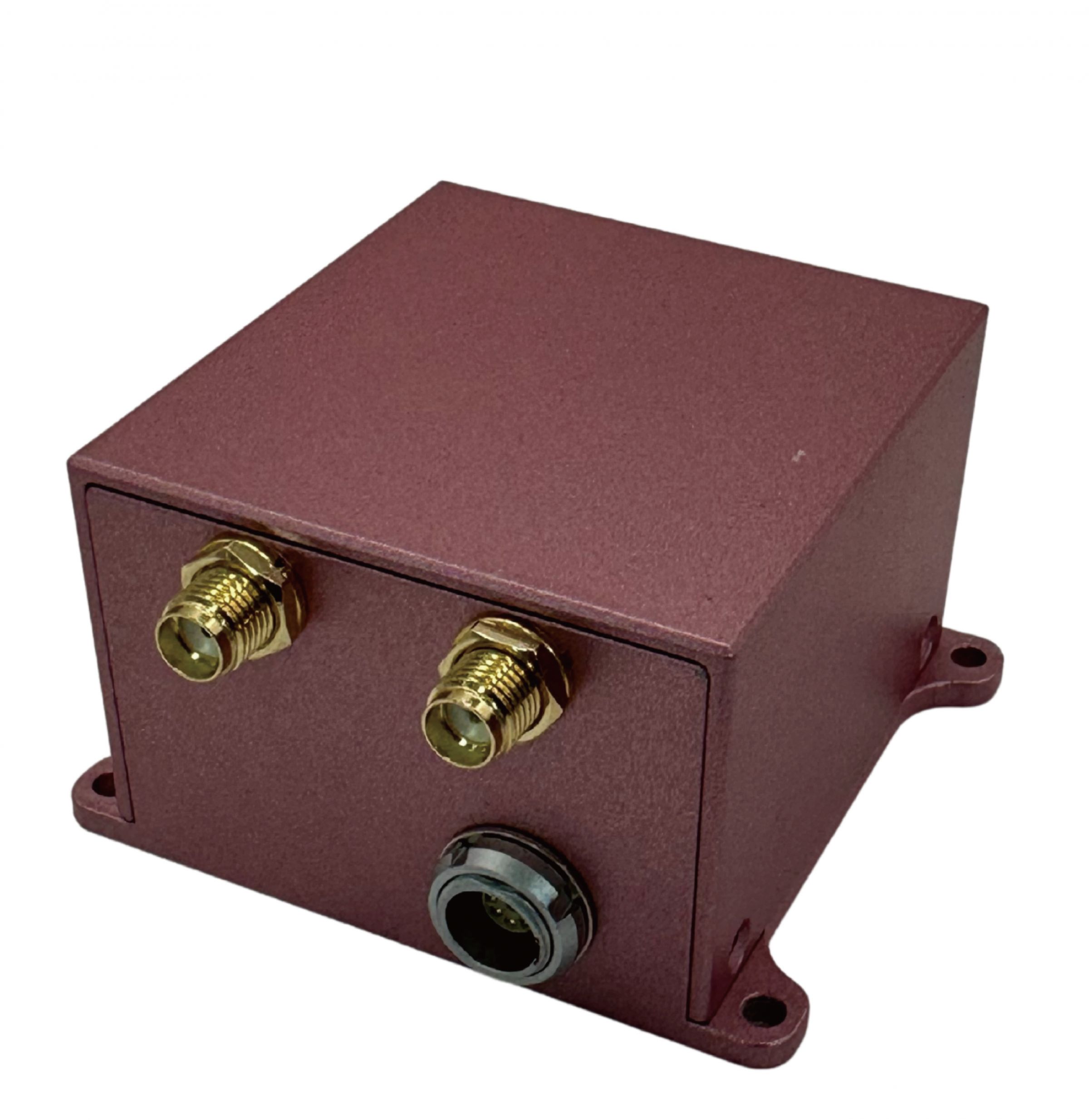
HAWK-Titan, developed by LOCOSYS Technology Inc., is a highly integrated navigation module designed for UAVs, autonomous vehicles, and surveying applications. It combines dual-frequency GNSS positioning, MEMS IMU, AHRS (Attitude and Heading Reference System), RTK (Real-Time Kinematic) correction, and dual-antenna heading solution. The module offers high-rate data output and robust interference resistance, making it ideal for embedded systems and dynamic environments where size, power, and accuracy are critical.
Key Technologies & Design Advantages
- Supports GPS/QZSS, GLONASS, Galileo, and BeiDou with dual-frequency reception (L1 + L5)
- Integrates high-precision MEMS gyroscope and accelerometer with low bias drift and wide dynamic range
- Built-in AHRS fuses data from IMU, magnetometer, barometer, and GNSS to deliver full attitude estimation (roll, pitch, yaw)
- RTK-enabled, compatible with RTCM 3.3 standard messages for centimeter-level positioning
- Dual-Antenna heading system achieves up to 0.1° heading accuracy, independent of magnetic interference
- Provides real-time output at up to 100 Hz, covering position, velocity, orientation, and heading
Technical Highlights
AHRS (Attitude and Heading Reference System)
By fusing IMU, magnetometer, barometer, and GNSS data, the HAWK-Titan delivers accurate 3D orientation outputs (Roll, Pitch, Yaw), maintaining high stability even in magnetic interference or high-dynamic environments.
Inertial Measurement Unit (IMU)
- Equipped with high-grade MEMS gyroscopes and accelerometers
- Low bias instability and 0.1% full-scale non-linearity
- Supports 100Hz update rate, suitable for fast control feedback and dynamic tracking
- Compact, low-power design for seamless system integration
RTK (Real-Time Kinematic Positioning)
- Fully compatible with RTCM 3.3 message types (1005, 1074, 1084, etc.)
- Provides sub-meter to centimeter-level positioning in open-sky environments
- Ideal for precision agriculture, construction surveying, and robotic navigation
Heading (Dual-Antenna Solution)
- Delivers heading accuracy from 2.0° down to 0.1°, depending on baseline length
- Provides accurate heading even in static or low-speed scenarios
- Immune to magnetic distortion, outperforming traditional magnetometer-only solutions
Application Scenarios
UAV Navigation
Supports mission-critical drone operations such as agricultural spraying, aerial mapping, and inspection. Enables smooth flight control and precise route tracking.
✔ High-frequency 100Hz output
✔ Centimeter-level RTK positioning
✔ Accurate heading without motion
✔ Stable flight performance in wind and vibration
Autonomous Ground Vehicles (AGV/UGV)
Delivers reliable navigation and heading solutions for industrial vehicles in logistics, agriculture, and mining.
✔ GNSS+IMU fusion for stability in multipath or GNSS-denied zones
✔ 0.1° heading precision with dual-antenna configuration
✔ MAVLink support for easy system integration
✔ Rugged design for all-weather, vibration-heavy environments
Precision Surveying and Mapping
Provides accurate positioning and orientation for geospatial professionals in mobile mapping and 3D reconstruction tasks.
✔ Multi-constellation GNSS (L1+L5)
✔ RTCM 3.X RTK compatibility for seamless base station integration
✔ Barometric sensor for accurate altitude referencing
✔ Suitable for static and dynamic data collection
By integrating advanced IMU, AHRS, RTK, GNSS, and dual-antenna heading technologies into one compact unit, HAWK-Titan delivers highly accurate, stable, and real-time navigation data. Whether airborne, on land, or in field survey applications, HAWK-Titan provides a dependable navigation core for next-generation autonomous and geospatial systems.


- Files Download

Press Release
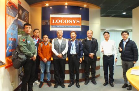 Taiwan Excellence Drone Alliance Visits LOCOSYS Technology, Focusing On Global Positioning Technology And Drone Applications
The Taiwan Excellence Drone Overseas Business Alliance, led by Yen Tung-Piao,visited a leading smart manufacturing enterprise with a delegation includingrepresentatives from AIDC, the Industrial...
Read More LOCOSYS Showcases Advanced Smart Positioning Technology At New Taipei Electric Vehicle Supply Chain Expo
To promote the development of Taiwan's electric vehicle (EV) industry and enhance international collaboration, the New Taipei City Government hosted the Electric Vehicle Supply Chain Expo...
Read More LOCOSYS Technology Unveils New High-Performance SONY GNSS/RTK Global Satellite Positioning Modules
LOCOSYS will showcase its advanced RTK solutions and high-performance GNSS modules, including those powered by Sony’s latest GPS technology, at the 2024 Sensor Expo in Tokyo. These modules,...
Read More