M.2-35AD

M.2-35AD / 大辰科技有限公司成立於2005年,我們提供全球導航衛星系統(GNSS),無線通信,嵌入式系統,航空電子,汽車和消 費電子等硬體和軟體的服務範圍。

Promotion Product-RTK-1612

Promotion Product-RTK-1612

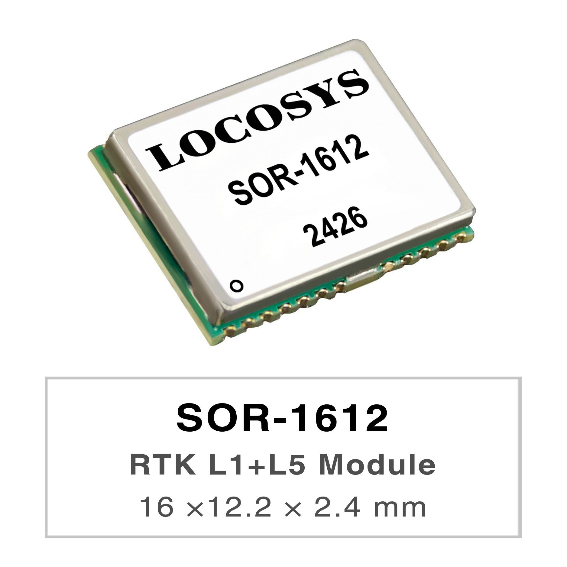
The RTK-1612 is a high-performance dual-band GNSS RTK module that designed for applications requiring centimeter level positioning accuracy.

更多
Promotion Product-RTK-1010

Promotion Product-RTK-1010

The RTK-1010 is a high-performance dual-band GNSS RTK module that designed for applications requiring centimeter level positioning accuracy. It adopts 12 nm process and integrate efficient power management architecture to perform low power and high sensitivity. The module supports concurrent reception of GPS, GLONASS, BeiDou, GALILEO, and QZSS to improve the availability and reliability of RTK solution even in the harsh environment.

更多

大辰科技 M.2-35AD簡介

大辰科技有限股份公司是台灣一家擁有超過17年經驗的專業M.2-35AD生產製造服務商. 我們成立於西元2006年, 在GPS / GNSS產業領域上, 大辰科技提供專業高品質的M.2-35AD製造服務, 大辰科技 總是可以達成客戶各種品質要求

M.2-35AD

M.2-35AD

M.2-35AD
M.2-35AD

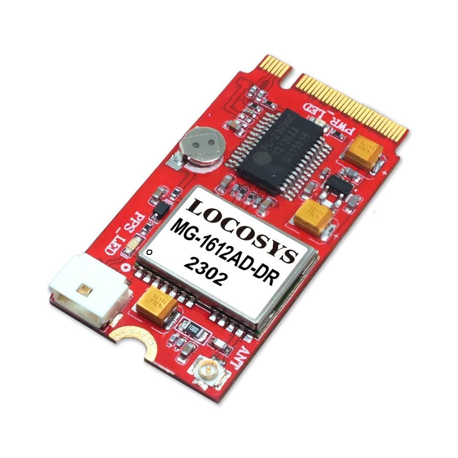
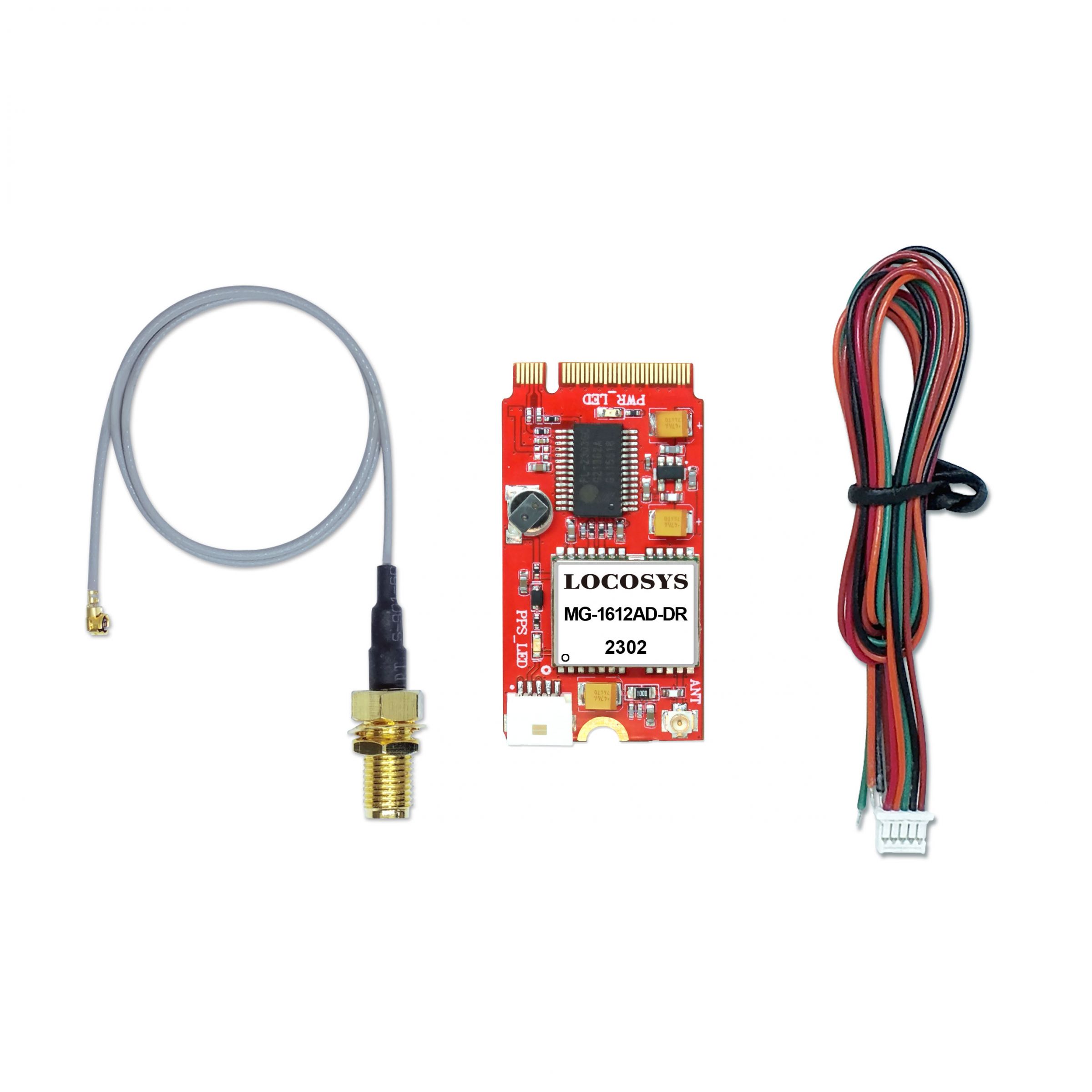
LOCOSYS M.2-35AD is a L1+L5 high-performance dual-band GNSS RTK module based on the very small industry standard M.2 Type B form factor. Using the USB bus, provides global positioning information, while taking up little space and power within a system. Supporting for Windows and Linux, the M.2-35R can easily integrate into any existing system, as well as easily implemented into new systems.

LOCOSYS M.2-35AD builds in LOCOSYS High Precision MC-1612AD-DR module which is using an Airoha AG3335AD chip, dual-frequency multi-constellation solution GNSS with sensor fusion dead reckoning module. It not only supports GPS, GLONASS, GALILEO, BEIDOU and QZSS, but also has inertial sensors (3-axis accelerometers and 3-axis gyros) to provide untethered dead reckoning function.

In addition to DR, an inertial sensor can detect the vehicular dynamics when it is attached firmly on the vehicle. Consequently, abnormal driving behaviors and the vehicle status can be detected and the alarm status will be enabled to remind the users. No requirement of installation orientation and automatic calibration function make it easy to use.

規格

  • Satellite System: Support GPS, GLONASS, GALILEO, BEIDOU and QZSS
  • Interface: UART / CAN BUS / USB
  • Input Voltage: 3.0V - 3.6V
  • Power (mA): 56
  • VB (uA): 64
  • Operating Temp (°C): -40 ~ 85

應用

  • Automotive navigation
  • LBS (location Base Service)
  • Vehicle Remote Monitoring
  • ITS (Intelligent Traffic System)


資料下載


新聞稿