HAWK-Titan
HAWK-Titan
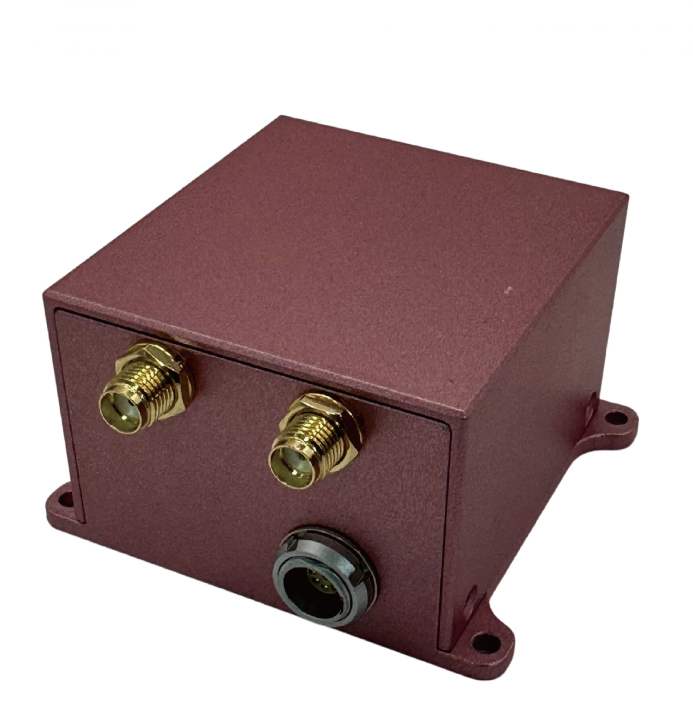
HAWK-Titan,是由大辰科技股份有限公司(LOCOSYS Technology Inc.)所開發的一款高度整合導航模組,專為無人機、自駕車以及測繪應用而設計。它結合了雙頻 GNSS 定位、MEMS 慣性測量單元(IMU)、姿態與航向參考系統(AHRS)、即時動態定位(RTK)修正,以及雙天線航向解算功能。此模組提供高速率的數據輸出與強大的抗干擾能力,非常適合嵌入式系統與動態環境,在尺寸、功耗與精度要求嚴苛的情境下表現尤為突出。
關鍵技術與設計優勢
- 支援 GPS/QZSS、GLONASS、Galileo 與北斗(BeiDou)系統,具備雙頻接收能力(L1 + L5)
- 整合高精度 MEMS 陀螺儀與加速度計,具備低偏移漂移與寬廣動態範圍
- 內建 AHRS,融合 IMU、磁力計、氣壓計與 GNSS 資料,提供完整姿態解算(橫滾、俯仰、偏航)
- 支援 RTK,即時動態定位,並相容 RTCM 3.3 標準訊息,可達到公分級定位精度
- 雙天線航向系統,可實現最高 0.1° 的航向精度,且不受磁場干擾影響
- 可提供最高 100 Hz 的即時輸出,涵蓋位置、速度、姿態與航向資訊
技術亮點
AHRS (姿態與航向參考系統)
透過融合 IMU、磁力計、氣壓計與 GNSS 資料,HAWK-Titan 能精準輸出三維姿態資訊(翻滾、俯仰、偏擺),即使在磁場干擾或高動態環境下,也能維持高度穩定性。
慣性測量單元(IMU)
- 搭載高規格 MEMS 陀螺儀與加速度計
- 具備低偏移不穩定性與 0.1% 全量程非線性誤差
- 支援 100 Hz 更新率,適用於快速控制回授與高動態追蹤
- 體積精巧、低功耗設計,方便系統整合
RTK (即時動態定位)
- 完全相容 RTCM 3.3 訊息類型(如 1005、1074、1084 等...)
- 在開闊環境下可提供亞公尺至公分級定位精度
- 適用於精準農業、工程測量與機器人導航
航向(雙天線解算方案)
- 航向精度可由 2.0° 提升至最高 0.1°,取決於基線長度
- 即使在靜止或低速情況下,也能提供精確航向
- 完全免受磁場干擾,效能優於僅依賴磁力計的傳統方案
應用情境
無人機導航(UAV Navigation)
支援關鍵任務的無人機操作,例如農業噴灑、航拍測繪與巡檢作業。可實現穩定飛行控制與精準航線追蹤。
✔ 高頻率 100 Hz 輸出
✔ 公分級 RTK 定位精度
✔ 靜止狀態下也能精確解算航向
✔ 在風場與震動環境中維持穩定飛行性能
自動化地面載具(AGV/UGV)
為物流、農業與礦業等工業車輛提供可靠的導航與航向解決方案。
✔ GNSS+IMU 融合,在多路徑或 GNSS 遮蔽區域仍能維持穩定
✔ 搭配雙天線配置可達 0.1° 航向精度
✔ 支援 MAVLink,便於系統整合
✔ 支援 MAVLink,便於系統整合
精密測繪與地圖建模(Precision Surveying and Mapping)
為地理資訊專業人員在移動測繪與 3D 重建任務中提供高精度定位與姿態資訊。
✔ 多星系 GNSS(L1+L5)
✔ 相容 RTCM 3.X RTK,無縫整合基準站
✔ 內建氣壓計,提升高度測量準確度
✔ 適合靜態與動態數據採集
透過將先進的 IMU、AHRS、RTK、GNSS 及雙天線航向技術整合於單一小巧模組中,HAWK-Titan 能輸出高精度、穩定且即時的導航數據。不論是空中、地面或測繪應用,HAWK-Titan 都能作為新世代自駕與地理空間系統的可靠導航核心。


- 資料下載

新聞稿
 台灣卓越無人機聯盟參訪大辰科技領先企業 聚焦全球定位技術與無人機應用
台北時間上午10點,台灣卓越無人機海外商機聯盟在顏東標的帶領下,由漢翔航空工業、工業技術研究院及經濟部航太產業推動小組等產業代表組成參訪團,蒞臨智慧製造領域的領先企業進行技術交流。本次參訪中,Locosys...
閱讀更多 LOCOSYS 大辰科技參加新北電動車產業鏈博覽會 展現領先智慧定位技術
為推動台灣電動車產業發展並促進國際交流,新北市政府舉辦「電動車產業鏈博覽會」,盛大匯聚國內外知名企業與創新新創公司共同參與。作為全球定位技術的領導者,LOCOSYS...
閱讀更多 LOCOSYS 大辰科技 推出全新高性能 SONY (GNSS/RTK) 全球衛星定位模組
LOCOSYS 大辰科技欣然宣布推出三款全新高性能 GNSS/RTK 衛星定位模組,包括 SO-1612-15、SO-1612-1N 和 SOR-1612。模組採用日本知名晶片大廠 SONY 的最新...
閱讀更多