
Smart Cities Infrastructure

Smart Cities Infrastructures
Technology has always come from human nature. Through the IoT development, people chase the better life. The smart city ideal, make people live in the better place.
When it comes to smart city services and urban planning, the role of geospatial or geo-location technologies is quite significant. Every smart city solution is inherently based on geo-location data; Traffic and transport management, optimizing energy use, city marketing, real estate development, crime-prevention, and event-management are areas where the application of geospatial and geo-location technologies has the most positive impact.
LOCOSYS Sub-meter L1+L5 GNSS module and RTK solution can provide high precision positioning accuracy, heading and even timing performance to meet every smart city solution.

- Related Products

RTK Board (L1+L2)
RTK-4671-MHPD
LOCOSYS RTK-4671-MHPD is a dual-frequency, dual-antenna receiver targeting for precision agriculture, drones, and slow-moving vehicles. This receiver provides fast precise heading and RTK position. It supports multiple constellations, including GPS, GLONASS, BeiDou, GALILEO, QZSS and SBAS to improve the continuity and reliability of precise heading and RTK position even in the harsh environment. Besides, it features powerful compatibility with other GNSS receivers in the market by flexible interfaces, smart hardware design and popular log/command formats. Versatile, compact, smart, low power and high update rate, LOCOSYS RTK-4671-MHPD meets the requirement of most location-based applications.
新闻稿
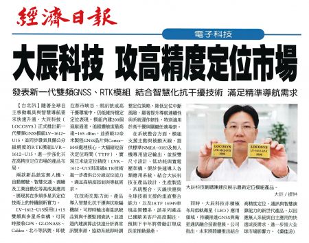 大辰科技攻高精度定位市场
随着全球自主移动载具与智慧导航需求快速升温,大辰科技(LOCOSYS)正式推出新一代双频GNSS模组LV-1612-U15,并同步发表具备公分级精度的RTK模组LVR-1612-U15,进一步强化其在高精度定位市场的产品布局。
阅读更多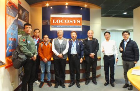 台湾卓越无人机联盟参访大辰科技领先企业 聚焦全球定位技术与无人机应用
台北时间上午10点,台湾卓越无人机海外商机联盟在颜东标的带领下,由汉翔航空工业、工业技术研究院及经济部航太产业推动小组等产业代表组成参访团,莅临智慧制造领域的领先企业进行技术交流。本次参访中,Locosys大辰科技分享了在RTK(即时动态定位)、惯性导航技术,以及天线应用于无人机系统上的最新成果,并特别介绍了飞行路径自主规划演算法等技术亮点。此外,生产品质管理系统的导入及其助力智慧制造的成功经验,也成为交流重点之一。
阅读更多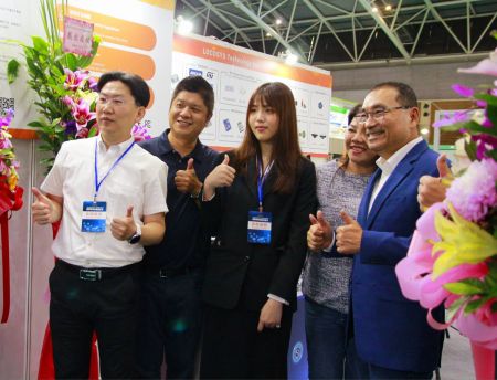 LOCOSYS大辰科技参加新北电动车产业链博览会展现领先智慧定位技术
为推动台湾电动车产业发展并促进国际交流,新北市政府举办「电动车产业链博览会」,盛大汇聚国内外知名企业与创新新创公司共同参与。作为全球定位技术的领导者,LOCOSYS大辰科技在本次展会中亮相,展示其最新的高精度定位技术,致力于推动电动车产业迈向智慧化与永续发展。新北市市长侯友宜莅临LOCOSYS大辰科技摊位,对其创新技术给予高度肯定。
阅读更多